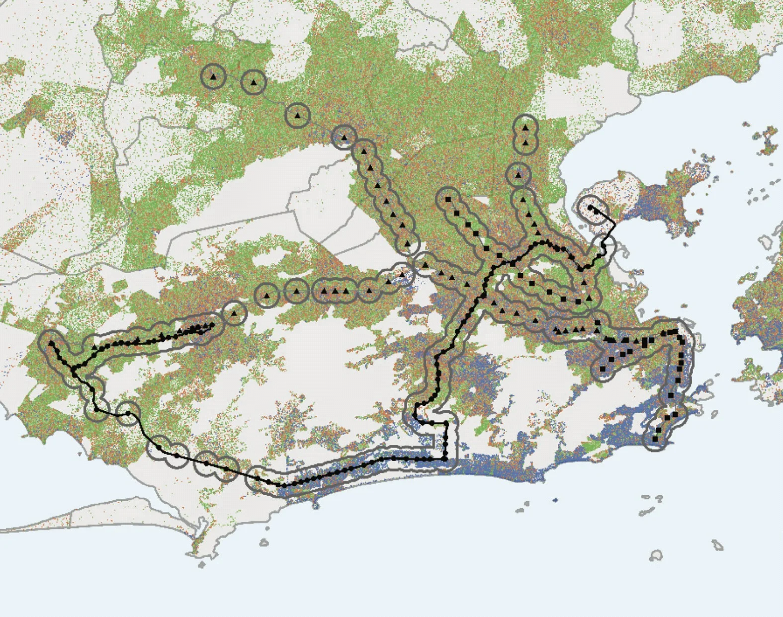
The Institute for Transportation & Development Policy released a new study about how to measure a city's access to transit (PDF).
This study examines a building block of overall transit accessibility: how close rapid transit is to the residents of a city. Residents of large cities need to have rapid transit options located close to where they live so they can access opportunities without using a car. Measuring the number of residents in a city or metropolitan area who are covered by rapid transit is an important barometer for the efficacy and equity of a region’s transportation infrastructure. To account for differences in city size, PNT has been calculated as “percent of population living near rapid transit.”
The measure, PNT, is incredibly simple: what percentage of your city lives within 1 kilometer of rapid transit (defined as bus rapid transit, light rail, or metro). Many cities in the world have stunningly high PNTs—Paris's is 100%. Visualizing PNT is neat too and can highlight opportunities for additional development or areas for transit expansion.
So what's Richmond's PNT? Now for some incredibly fast and loose, back-of-the-napkin math that you should probably just forget about as soon as you read it...
As defined by the BRT environmental assessment (PDF), in 2008 just 33,398 people lived "within the station areas" (an area that, I think, is defined by a half mile radius). That's about 16% of the city's 2008 population. If we figure the region has about a million folks, just 3% will be "near rapid transit" once the Pulse opens up.
We can do better! Later this month, the state will release the Richmond Regional Transit Vision Plan and we'll have a picture of what a region with accessible transit looks like. Stay tuned!

